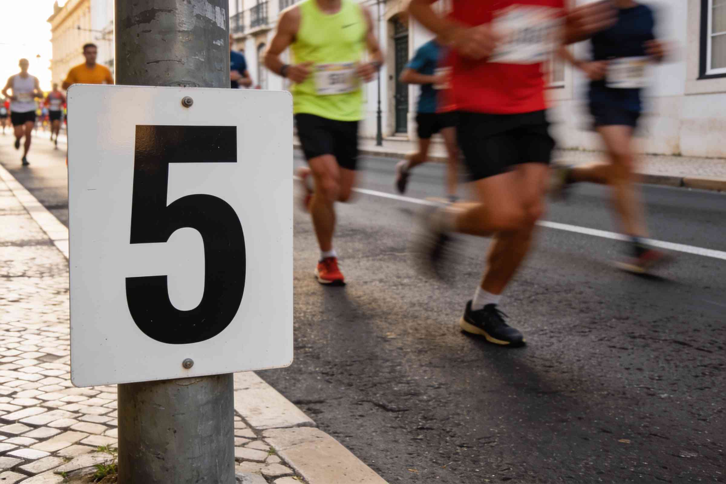
How the course on our map is drawn: the real streets of Lisbon from OpenStreetMap, the heights from open elevation data, and the distance measured along the line.
The course you see on this site isn’t a drawing. It runs along the real streets of Lisbon, taken from OpenStreetMap, and its length is measured along that line, corner by corner.
The elevation profile comes from open elevation data, sampled every sixty metres over the city. It tells you where the climbs are; the official distance is the one measured on the road with a calibrated wheel before race day.
Olá! Ask me about the course, start times, bib pick-up or which race suits you.
The AI chat is not connected on this site yet.
It runs on your own Anthropic API key: add ANTHROPIC_API_KEY to your site's environment and redeploy. No key is included with the template, and this demo does not provide one.